Guide
Peat fires in Indonesia: why karhutla is so hard to stop and how early detection helps
7 min read

Peat fires in Indonesia are so hard to stop because they burn inside the ground, not on it: drained peat smoulders slowly downwards and sideways, out of reach of aircraft and surface water, and can keep burning for weeks after the flames above have gone out. The only reliable defence is to keep peat wet and to catch a fire in its first hours, while it is still small and shallow. That is where ground-level detection, combined with satellite hotspots and patrols, makes the difference.
What makes peat fires in Indonesia different
Peat is soil made of plant material that has built up under water for centuries. In its natural state a tropical peat swamp is wet almost all year and rarely burns. Indonesia holds a large share of the world's tropical peat: one widely cited estimate puts its peat carbon stock at about 57 billion tonnes, around 55% of all tropical peatland carbon, and in parts of Kalimantan the peat is more than 20 metres deep, as The Nation reported in September 2026.
The trouble starts when peat is drained. Canals dug for plantations, farming and logging lower the water table, the top layer dries out, and fire used to clear land, a dropped cigarette or a burning field next door can ignite it. In Indonesia these forest and land fires are known as karhutla (kebakaran hutan dan lahan). An economist quoted in the same report put human activity behind about 99% of ignitions.
Why smouldering peat fires are so hard to put out
A peat fire behaves less like a forest fire and more like a slow, hot ember inside the soil. During a 2018 field experiment in South Sumatra, researchers led by Professor Guillermo Rein of Imperial College London measured soil temperatures of 400–600 °C. Their experimental fire burned for about three weeks, spread faster downwards than sideways, and kept burning even after storms flooded the site.
- It hides underground. The fire front moves below the surface, so the burnt area at the top is only part of the picture. It goes a little deeper at night and comes back towards the surface during the day.
- Water bombing does not reach it. Rein's team found that "air tankers (for aerial firefighting) do absolutely nothing to peat fires". Their fire took three days to suppress with lances that push water down through the soil.
- It survives rain. Imperial College London researchers modelled a peat fire at 70% soil moisture and found 2.9 hectares still burning after three months; only at 100% moisture did spread fall to almost nothing.
- It reignites. Even after a fire is declared out, embers deep in the peat can flare up again when the surface dries. Indonesia's disaster agency BNPB warned of exactly this in September 2026.
Peat fires also produce dense, low-lying smoke. Because they burn at a lower temperature than flaming fires, the smoke stays close to the ground instead of rising in a tall column. That smoke is the haze that regularly closes schools and disrupts daily life in Sumatra, Kalimantan, Malaysia and Singapore.
Peat fires in Indonesia: lessons from 2015 to 2026
The 2015 season set the benchmark. According to the World Bank's analysis of the 2015 fire crisis, 2.6 million hectares burned between June and October, about a third of it peatland. The fires cost Indonesia at least USD 16.1 billion, about 1.9% of GDP, contributed to 19 deaths and more than 500,000 cases of acute respiratory infection, and released roughly 1,750 million tonnes of CO2 equivalent.
| Season | Burned area | Source |
|---|---|---|
| 2015 (June–October) | 2.6 million ha, about one third peat | World Bank, from government data |
| 2025 (full year) | About 359,000 ha | Ministry of Forestry (Kemenhut), March 2026 |
| 2026 (January–July) | More than 202,000 ha | Ministry of Forestry, reported September 2026 |
| 2026 (January–September) | About 1.9 million ha | Nusantara Atlas satellite analysis |
In 2025 Kemenhut's director of forest fire control reported about 359,000 hectares burned across the year, with East Nusa Tenggara the worst-hit province, and noted that fires on peat release more greenhouse gases than fires on mineral soil.
2026 turned out far worse. By early September BNPB counted about 72,000 hectares of burned peatland in six provinces of Sumatra and Kalimantan, more than half of it in West Kalimantan. The satellite monitor Nusantara Atlas estimated more than 1.9 million hectares burned by the end of September, 38% more than at the same point in 2019, while Singapore recorded more consecutive unhealthy haze days than in 2015. Official and satellite figures differ because they use different methods, but both point the same way: a decade after 2015, peat fires remain Indonesia's hardest fire problem.

How karhutla is detected today
Indonesia's fire response relies heavily on satellite hotspots. In 2026, BNPB explained that the Ministry of Forestry and the weather agency BMKG identified hotspots from satellite data, and helicopter and ground patrols then checked which hotspots were real fires. On the ground, the work falls to the Manggala Agni fire brigades, local fire services and village volunteers.
This works well for large, hot, open fires. It is much weaker for the early stage of a peat fire. Satellites pass over at set times, clouds and haze block the view, and a smouldering fire gives off far less heat than flames. As Rein put it, "we cannot detect smouldering fires because people are trying to detect them as if they were flaming fires", and by the time they are found, the fire is often already massive. Our comparison of early wildfire detection methods looks at these trade-offs in more detail.
Prevention first: keeping peat wet
Everyone working on peat agrees that wet peat does not burn. Since the 2015 crisis Indonesia has focused on restoring peat hydrology: blocking drainage canals, rewetting, replanting and helping communities clear land without fire. Government Regulation PP 57/2016 on peat ecosystems kept the 0.4-metre water-table limit: where groundwater falls more than 0.4 metres below the peat surface, the peat counts as damaged and must be restored.
- Rewet and block canals so the water table stays close to the surface through the dry season.
- Monitor water levels at fixed points, especially in concessions next to drained land.
- Stop burning to clear land and support mechanical clearing and fire-free farming.
- Prepare before the dry season: water sources, pumps, lances and trained village crews.
- Detect early so that a fire is attacked while it is still shallow and a few square metres in size.
Where ground sensors fit in peatland fire detection
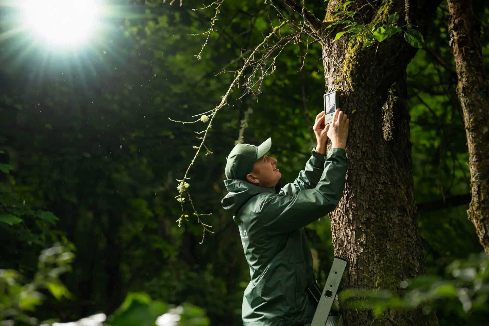
Because a peat fire is weakest at the start and its smoke stays low, sensing at ground level is a natural complement to satellites. SEBELO's solar-powered sensors are mounted on trees, measure smoke and fire gases in the air around them and send an alert when they pick up the signature of a fire. Sensors connect through a LoRaWAN gateway, which covers large areas with little infrastructure, to the cloud platform, where alerts appear on a live map and go out by app, e-mail or SMS. An API can feed alerts into an existing control-room system.
Sensors do not replace rewetting, patrols or satellite monitoring. They give fire crews a precise location and a head start, which on peat is what decides whether a fire is put out in hours or burns for weeks. You can read more about peatland fire detection with SEBELO and the sensor itself. The sensor is still in development, with sales planned from early 2027; we have demonstrated the system with live fires in front of fire services in France, Spain, Portugal and Romania, for example in the Portugal field test.
Frequently asked questions
Why are peat fires so hard to extinguish?
Peat fires smoulder inside the soil rather than on the surface. The fire front can move downwards and sideways out of reach of aerial water drops, and it survives rain and even flooding. Firefighters have to push water deep into the peat with lances, which is slow work that requires reaching each burning spot on foot.
What does karhutla mean?
Karhutla is the Indonesian abbreviation of kebakaran hutan dan lahan, which means forest and land fires. It covers fires in forests, plantations, farmland and peatlands. Fires on drained peat, mostly in Sumatra and Kalimantan, are the most persistent part of karhutla and the main source of the haze that affects Southeast Asia.
How long can a peat fire burn?
Weeks to months. In a 2018 field experiment in South Sumatra, a peat fire burned for about three weeks and kept going after the site flooded. Model studies at Imperial College London found that a peat fire at 70% soil moisture can still be burning after three months. Extinguished fires can also reignite when the surface dries.
Can satellites detect peat fires early?
Satellites detect large, hot fires well, but early smouldering peat fires give off little heat, and clouds or haze can block the view. In Indonesia, satellite hotspots from the Ministry of Forestry and BMKG are checked by helicopter and ground patrols. Ground sensors can add earlier alerts with a precise location.
Sources
- World Bank — The Cost of Fire: An Economic Analysis of Indonesia's 2015 Fire Crisis (knowledge note)
- Horizon, the EU Research & Innovation Magazine — 'Not enough people are aware of this monster' (Guillermo Rein, 31 October 2019)
- Imperial College London — Research could dampen the dangers of peatland 'zombie fires'
- Kompas — Karhutla Indonesia 2025 capai 359.000 hektar (26 March 2026)
- RRI / BNPB — 98 percent of peatland fires extinguished (8 September 2026)
- The Star / AFP — Indonesia fires have burned nearly two million hectares: monitor (19 October 2026)