Guide
Early wildfire detection: sensors, cameras and satellites compared
7 min read
Early wildfire detection means finding a fire in its first minutes, while it is still small enough to be put out quickly. There are three main ways to do it: satellites that spot heat from space, cameras on towers that watch for smoke, and sensors in the forest that measure smoke and gases on the spot. Each method sees something the others miss, so the most reliable systems combine them.
Why the first minutes decide how big a fire gets
2025 was the worst wildfire season the EU has recorded. The European Forest Fire Information System (EFFIS) mapped 1,079,538 hectares of burnt land in the EU, the largest area since its records began in 2006 and almost double the 2006–2024 average. Fires were mapped in 25 of the 27 member states, and about 39% of the burnt area lay in Natura 2000 protected sites.
Weather, fuel and terrain decide how fast a fire spreads, but the time it takes to discover the fire is the one factor a forest owner can change. A fire reported while it covers a few square metres can often be handled by a local crew. Research on ground sensing notes that fires of up to about 5 hectares can still be suppressed in mild weather; beyond that, the effort, cost and damage rise quickly. To understand where fires come from in the first place, read how wildfires start and spread.
Satellites: wide coverage, limited detail
Satellites detect fires as hot spots in infrared images. Europe's new geostationary weather satellites (MTG) watch the continent without pause: according to EUMETSAT, one satellite scans Europe every 2.5 minutes and another covers Europe and Africa every 10 minutes. The catch is resolution. Each pixel of their images covers 1–2 km of ground, so a fire has to grow hot and large enough to change the signal of a whole pixel before it shows up.
High-resolution satellites such as Sentinel-2 see details as small as 10 metres, but they pass over the same forest only every few days: every 5 days with two satellites, or every 2–3 days at mid-latitudes. Thick clouds and smoke also hide the ground from optical sensors.
- Strengths: they cover every country without installing anything, and they are excellent for tracking large fires and mapping burnt areas.
- Limits: small, new fires are hard to see, detail and frequency rarely come together, and clouds get in the way.
Cameras on towers: a trained eye that needs a clear view
Many forest services place cameras on fire towers and use software or operators to look for smoke columns. In Latvia, the State Forest Service (VMD) is linking its fire observation towers to a remote detection system: by September 2024, 23 towers were connected, and the cameras can spot smoke up to 15 km away and report its coordinates.
Cameras work well over open landscapes, but they need a line of sight to the smoke. Hills, dense canopy, fog, rain and darkness all reduce what they can see, and the smoke has to rise above the trees before it becomes visible. A review of IoT wildfire detection published in IEEE Access also points to false alarms from dust, clouds and moving objects, and to high costs and energy use.
Sensors in the forest: close to where fires start
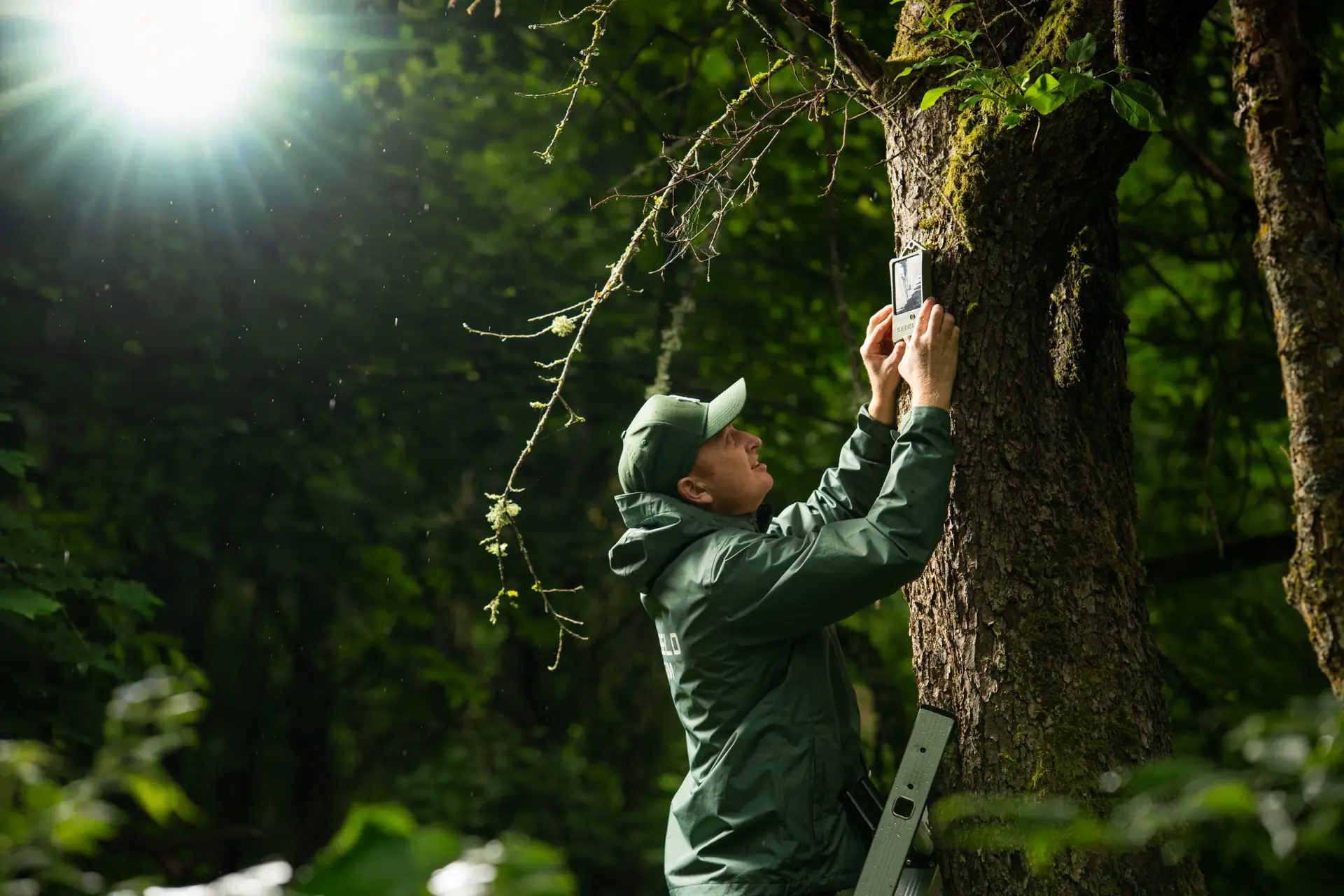
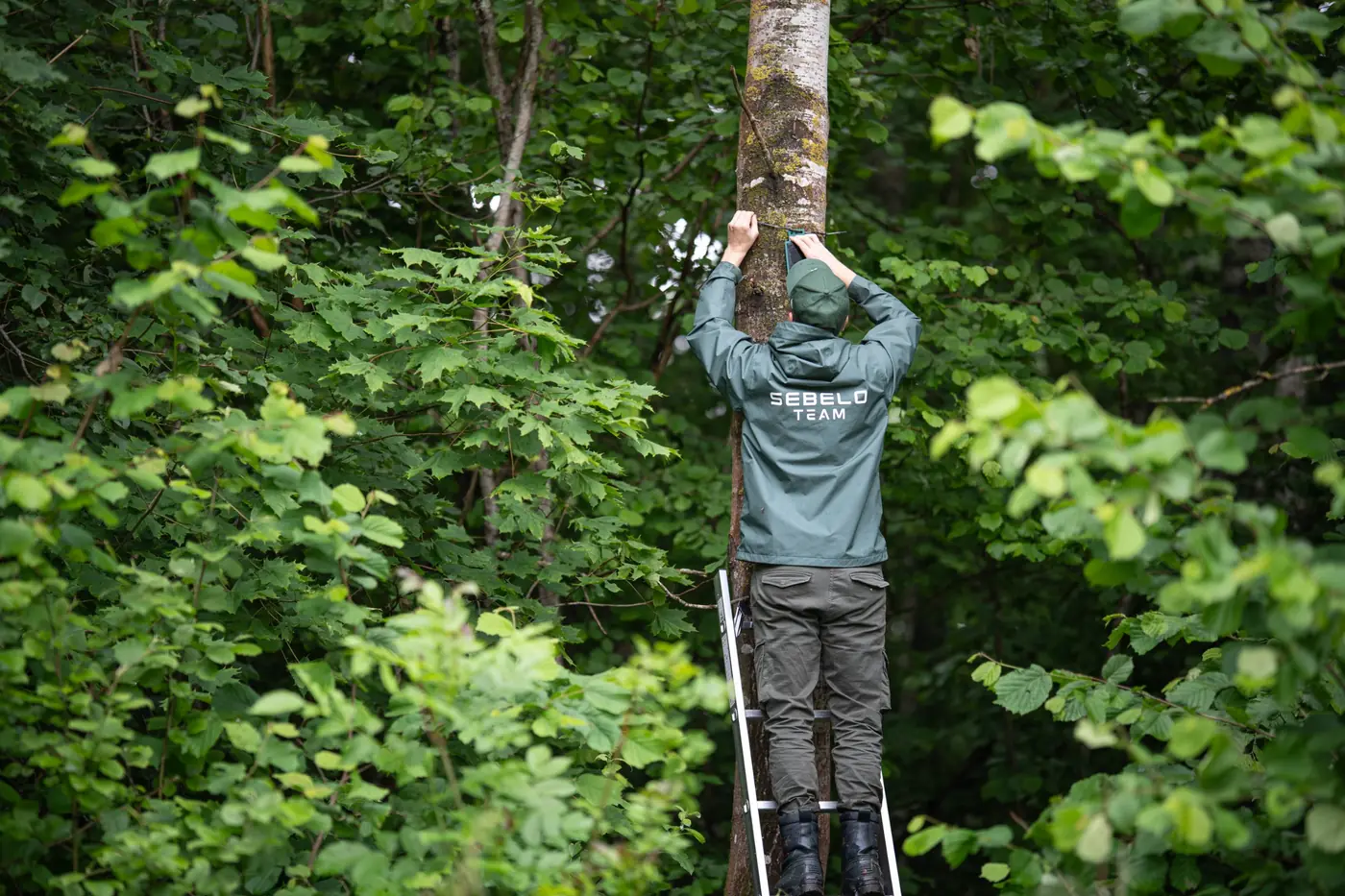
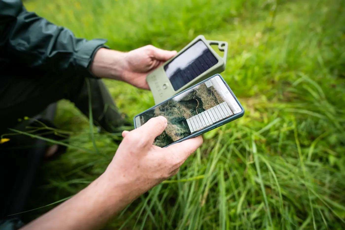
Ground sensors measure the air where they hang: gases released by burning wood, smoke particles, temperature and humidity. They need no line of sight, so they keep working at night, in fog and under a closed canopy. Readings travel over low-power radio such as LoRaWAN to a gateway and on to an online platform that sends the alert.
Gases are usually the earliest sign. In the experiment described in the same review, gas sensors 30 metres from a test fire showed clear CO2 and VOC peaks within about 10 minutes of ignition, while temperature and humidity sensors 10 metres away showed nothing unusual. That is why modern wildfire sensors focus on smoke and gas rather than on heat.
The trade-off is coverage: each sensor watches its own surroundings, so placement matters more than numbers. Sensors work best where fires typically start, such as roads, forest paths, campsites, railways, power lines and forest edges near villages. Solar power and a LoRaWAN gateway let them work far from the electricity grid.
Early wildfire detection methods compared
| Method | What it detects | Best for | Main limits |
|---|---|---|---|
| Geostationary satellites | Heat from larger fires | Continuous overview of whole regions | Pixels of 1–2 km; misses small fires; clouds |
| High-resolution satellites | Heat and burn scars | Detailed maps of burnt areas | Pass only every few days |
| Tower cameras | Visible smoke | Open landscapes with a clear view | Line of sight, weather, darkness |
| Forest sensors | Gases, smoke particles, temperature | Early alerts where fires start | Cover their surroundings; placement needs planning |
How to combine them in practice
- Map where fires start. Look at past fires, roads, paths, campsites, railways, power lines and peatland edges.
- Put sensors at those hot spots, and rely on cameras and satellites for the wide-area overview.
- Bring every alert to one map. A single monitoring platform with app, e-mail and SMS alerts means nobody has to check three systems.
- Agree who responds, and test the whole chain from alert to arrival before the dry season starts.
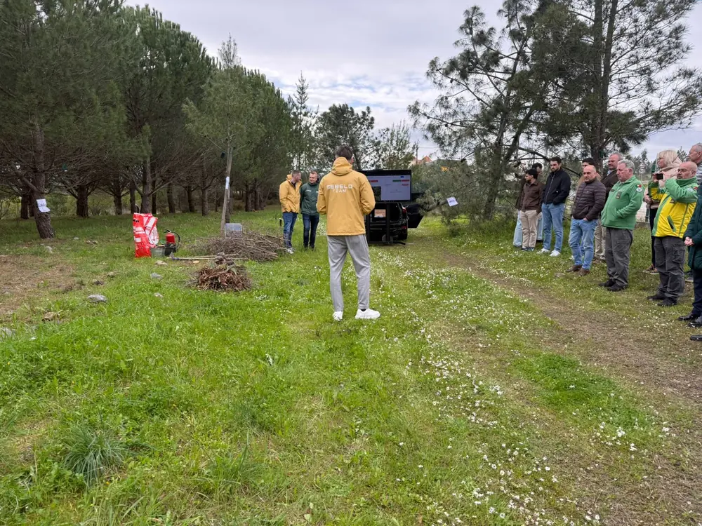
We have tested this approach with live fires in front of fire services and forest managers in France, Spain and Portugal. The reports describe what happened at each test, for example the live test in Meymac, France and the field test in Portugal. For a full overview of the system, see forest wildfire detection.
Questions to ask before choosing a system
- How long does it take from the first sign of fire until a person receives the alert?
- Does it work at night, in fog and under a dense canopy?
- How is it powered where there is no electricity?
- Does the forest have network coverage, or does the system bring its own radio network?
- Can the data be connected to your own software through an API?
- Who maintains the devices, and how often?
Frequently asked questions
What is the fastest way to detect a forest fire?
The fastest alerts usually come from sensors placed close to where fires start, because they react to the gases of a fire within minutes and do not need to see the smoke. Cameras and satellites add the wide-area view. Combining all three gives both speed and coverage.
Can satellites detect small wildfires?
Only sometimes. Geostationary satellites scan Europe every few minutes, but each pixel covers 1–2 km, so a small fire rarely stands out. High-resolution satellites see 10-metre details, yet pass over the same place only every few days. Satellites are best for tracking larger fires.
Do wildfire sensors need electricity or mobile coverage?
No. Solar-powered sensors run without mains power, and LoRaWAN radio carries their data to a gateway several kilometres away. Where there is no electricity, a solar-powered gateway can be placed on a high point and send the data over the mobile network.
How many sensors does a forest need?
It depends on the terrain and on where fires usually start. Instead of an even grid, sensors go where the risk is highest: along roads and paths, near campsites, railways and power lines, and at forest edges close to villages. A risk map helps decide the number.
Sources
- European Commission, Joint Research Centre — 2025 was the EU's most destructive wildfire season on record (31 March 2026)
- EUMETSAT — Monitoring fires with next-generation satellites from MTG and Metop-SG
- Chan et al. (2024), A Survey on IoT Ground Sensing Systems for Early Wildfire Detection, IEEE Access
- LV portāls — Valsts meža dienests paplašina attālināto uguns novērošanas sistēmu (11 September 2024)